Skip to content
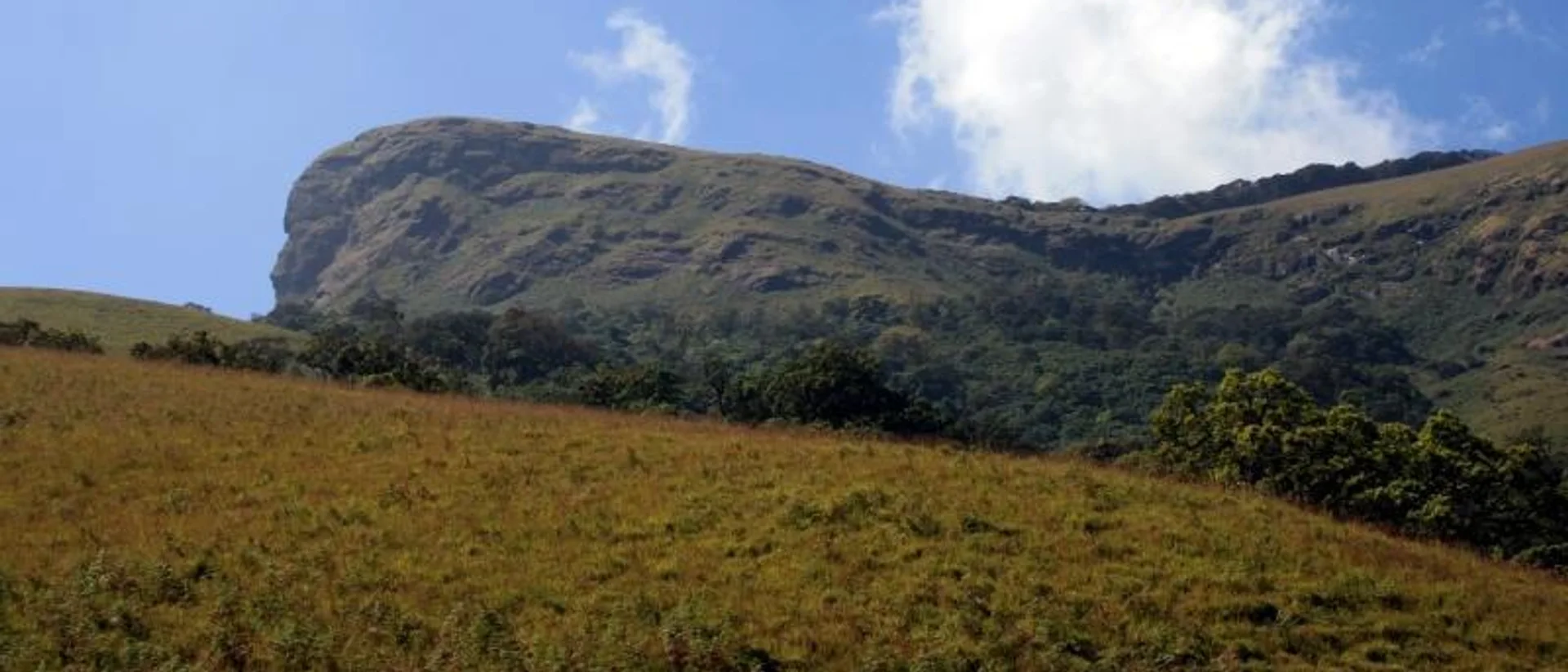
The summit ridge of Mullayanagiri, Karnataka’s highest peakRavichandra (రవిచంద్ర) (CC BY-SA 4.0), via Wikimedia Commons
Chikmagalur Mullayanagiri

Mullayanagiri Trek: Karnataka’s Highest Peak, No Permit Needed

Easy Best time: September to March, clearest skies for the summit view5 min read
Overview

Overview

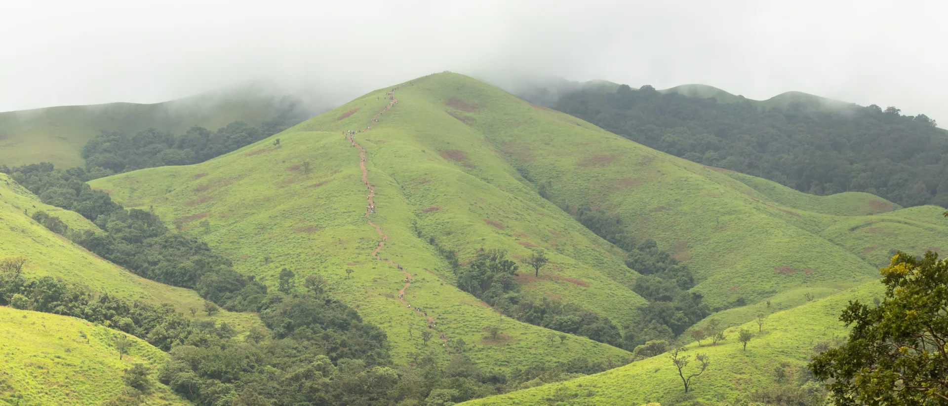
At 1,925 m (6,316 ft), Mullayanagiri is Karnataka's highest peak and the 23rd-highest in the entire Western Ghats range, rising from the Chandra Drona hill ranges. Unlike most of the district's other big-name treks, it needs no forest permit and no guide — a road gets you to Sarpadhari, and a stone-stepped path of around 467 steps gets you the rest of the way, most people finishing in under three hours round trip. The summit itself carries a small temple — Shri Guru Gadrige Mullappa Swami Mutta — said to be dedicated to a sage named Mullappa Swamy who is believed to have meditated in caves just below the peak, which is where the mountain gets its name, alongside a police radio relay station.

The same ridge road continues on to Baba Budangiri, so the two are commonly done together as one morning's outing — Mullayanagiri for the climb and the view, Baba Budangiri for the pilgrimage site a little further along.

In bloom years, the hillsides below the peak carpet themselves in a purple wildflower locally likened to the famous Neelakurinji of the higher Western Ghats — not something to plan a single trip around, but a striking sight if the timing lines up.
Elevation

1,925 m / 6,316 ft (highest in Karnataka)

Trailhead

Sarpadhari, ~15 km from Chikmagalur town

Distance

3–4 km round trip

Duration

1.5–2.5 hours

Before you go

Costs & entry/exit rules

Costs

  • Bike₹50

    Per-vehicle entry, not per person.

  • Car₹100

    Per-vehicle entry, not per person.

  • Tempo / larger vehicle₹200

Entry & exit

No permit required

Open 6:00 AM to 6:00 PM. Around 1,200 vehicles are allowed up per day — after around 9:00 AM on busy days, vehicles may be turned back or parked further away and the walk to the trailhead itself gets longer, so an early start is worth it.

  • No Forest Department guide is required here, unlike Kudremukh or Nethravati.
  • The final stretch to the summit is around 467 stone steps — steep but short.

Required documents

What to carry

Packing list

Comfortable walking or trekking shoes A cap and sunscreen — the ridge is exposed 1–2L of water A light jacket for the summit wind
Photos
Questions

Frequently asked questions

No. Unlike Kudremukh, Nethravati or Ettina Bhuja, Mullayanagiri needs no Forest Department permit and no guide — just a vehicle to Sarpadhari and the stone-step climb from there.

Book direct

Where to stay for this trip

Meals included Coffee estate
4.8 out of 5, 142 reviews

Coffee estate country, Chikmagalur, Chikmagalur

Good Earth

Wake up inside a working coffee estate in the Western Ghats

A family-run homestay inside a working coffee estate — home-cooked Malnad meals, a bonfire most evenings, and plantation blocks that start where the lawn ends.

  • Coffee estate walk
  • Home-cooked meals
  • Evening bonfire

2 guests1 bedrooms1 bathsHomestay

₹2,000 / night

View Details

Basing yourself near town for an easy morning summit? Good Earth Homestay is a short drive from the Sarpadhari trailhead.

Keep exploring
The marked trekking trail climbing Nethravati Peak, Kudremukh National Park
Chikmagalur Kudremukh Samse

Trek guide 7 min read

Nethravati Trek Guide: Itinerary, Permits, Charges & Best Time

A 14 km round trip through shola forest and open grassland inside Kudremukh National Park, ending on a ridge with views across the Western Ghats.

September to May — trails turn slippery and leech-heavy during the June–August monsoon

Read guide
The horse-face summit ridge of Kudremukh Peak, seen from the approach trail
Chikmagalur Kudremukh Mullodi Samse

Trek guide 7 min read

Kudremukh Peak Trek: Permit, Route, Cost & Best Time

An 18 km round trip to Karnataka’s second-highest peak, through Shola forest and rolling grassland from the hamlet of Mullodi.

September to May — the Forest Department restricts access during the heaviest monsoon months

Read guide